Weston 7 Secondary Plan
The Weston 7 Secondary Plan was adopted by Council on October 28, 2025, which forms part of Volume 2 of the Council-adopted Vaughan Official Plan 2025.
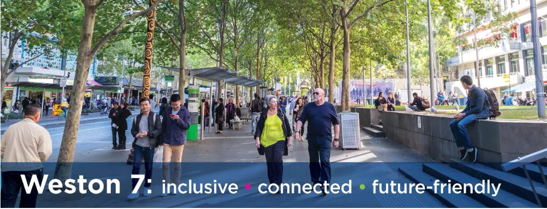
The Weston Road and Highway 7 area (Weston 7), bounded by Fieldstone Drive, Chrislea Road and Portage Parkway to the north; the Highway 400 corridor to the east; the Highway 407 corridor, Rowntree Dairy Road and Trowers Road to the south; and Ansley Grove Road and Whitmore Road to the west, is evolving. Weston 7 is one of the City's Primary Centres, envisioned as an urban destination that will utilize higher order transit investments, and include a mix of uses in a variety of building types.
The Weston 7 Secondary Plan
The City of Vaughan initiated the Weston 7 Secondary Plan study in 2018 to establish a land use and policy framework for the Weston 7 area to guide the transformation of the area into a complete, vibrant and active community.
On October 28, 2025, Council adopted the Weston 7 Secondary Plan as part of Volume 2 of Vaughan Official Plan 2025. The adopted plan establishes a comprehensive planning framework to guide development in the area and ensure Weston 7 will be developed as a distinct urban destination with a variety of commercial, cultural and entertainment amenities, and parks and open space, supported by housing, jobs and community facilities.
The Council-adopted Weston 7 Secondary Plan has been submitted to the Minister of Municipal Affairs and Housing for approval as part of Volume 2 of the adopted Vaughan Official Plan 2025. The proposal notice was posted by the Ministry of Municipal Affairs and Housing to the Environmental Registry of Ontario on December 18, 2025, and the comment period is open from December 18, 2025, to February 1, 2026. The proposal notice can be accessed, and comments can be submitted on the Environmental Registry of Ontario webpage by clicking the link below:
City of Vaughan - Approval of a municipality's official plan (ERO number 025-1420)
The Council-adopted Weston 7 Secondary Plan can be accessed by clicking the link below:
Council-adopted Weston 7 Secondary Plan (October 2025)