Image
Vellore Neighbourhood Walk
Vellore Neighbourhood Walk Map
Distance: 4.7 km
Difficulty: Easy
Nearby: Vellore Village Community Centre and Vellore Heritage Park
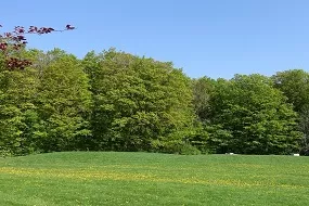
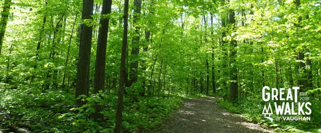
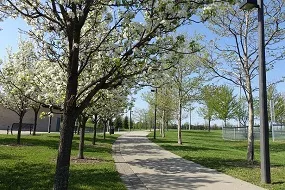
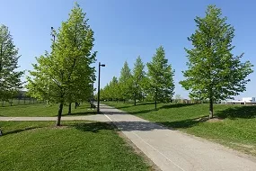
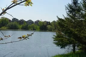
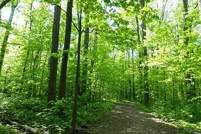
- Looped walk with both nature and neighbourhood walking experiences
- Some paved and lit areas
- Scenic areas around the pond and the Vellore Woodlot
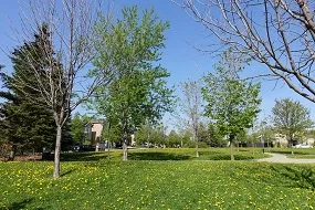
- Playgrounds, sports fields, splash pads and picnic areas
- Includes Vellore Heritage Park, Vellore Hall and School heritage site
- Proximity to Vellore Village Community Centre and Library for washroom and resting areas
- Parking available at Vellore Heritage Park and Vellore Village Community Centre and Library located off of Weston Road, north of Rutherford Road
Image
Image
Image
Image
Image
Image