Planning GIS and Analytics
Providing spatial data, mapping, and analytical support to guide informed city planning and decision-making
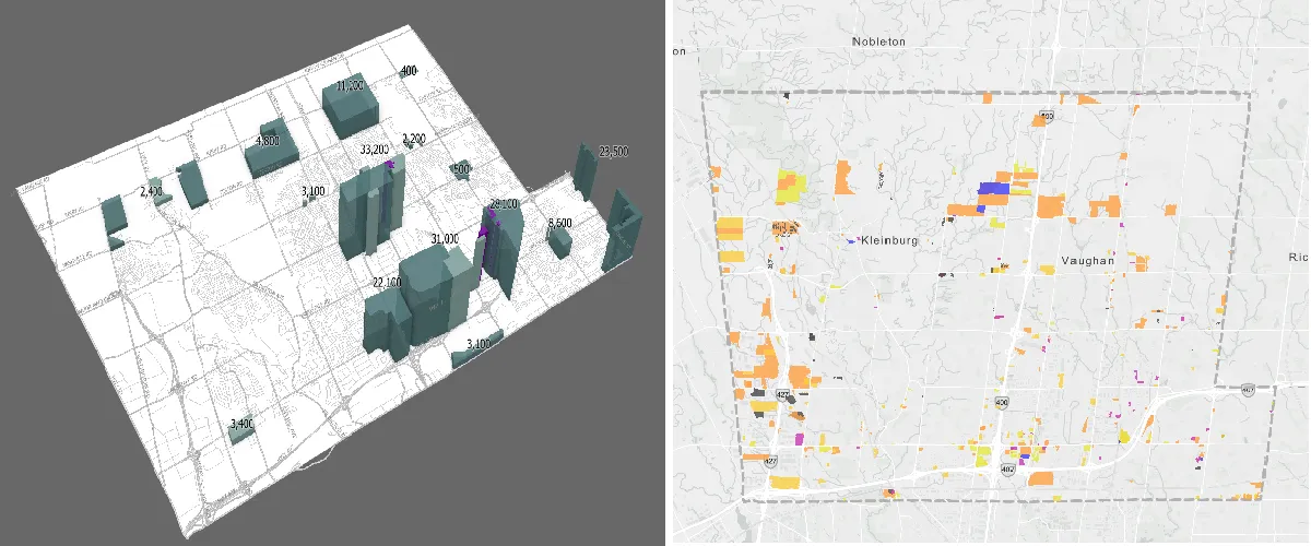
The Planning GIS and Analytics section manages and implements Geographic Information Systems (GIS) to support both the public and municipal staff. This includes developing and maintaining spatial data, building interactive maps and tools, and providing analytical insights that support key City of Vaughan processes such as development application reviews, zoning, the official plan, road networks, and addressing.
By leveraging the latest GIS technologies, the team delivers innovative solutions that enhance data accuracy, efficiency, and decision-making. Through technical support and custom mapping services, staff have access to reliable, up-to-date geographic information. Many of these tools and datasets are also publicly available, improving service delivery, fostering transparency, and encouraging active community participation in the planning process. The services provided by the Planning GIS and Analytics section include:
- Planning Services – Assignment of new addresses, street naming, and the management of data submissions for development applications.
- Policy Information – Core datasets such as zoning, development applications, municipal addressing, wards, and ratepayer information.