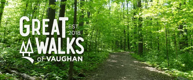
Great Walks of Vaughan
Explore where nature and neighbourhoods meet.
Enjoy the outdoors and discover local neighbourhoods, nature walks and trail sites while getting active. Walking, riding or rolling is a great way to explore our city and improve your health, fitness and happiness levels.

Snowshoe for free in the city of Vaughan!
Explore the City’s winter scenery while snowshoeing across a park or trail. Whether you're a seasoned outdoor enthusiast or a beginner looking for a family friendly winter adventure, snowshoeing provides a great way to enjoy the winter landscape without the need for extensive skills or training. Borrow a pair of snowshoes for FREE at select community centres. Starts Dec. 18 until March 20.
The fine print
- You must be a city of Vaughan resident.
- Snowshoes are loaned on a weekly basis for four days from Thursday to Sunday and include one set of snowshoes per person, while quantities last.
- Pickup is every Thursday from 9am to 9pm at the following community centres:
- Al Palladini Community Centre (9201 Islington Ave.)
- Garnet A. Williams Community Centre (501 Clark Ave. W.)
- Maple Community Centre (10190 Keele St.)
- North Thornhill Community Centre (300 Pleasant Ridge Ave.)
- Vellore Village Community Centre (1 Villa Royale Ave.)
- Carrville Community Centre (655 Thomas Cook Ave.)
- A $50 security deposit via credit card is required and will be refunded upon return of the snowshoes. Please allow three to five business days for the deposit to be returned to your credit card.
- Snowshoes are to be returned to the same centre from which they were loaned on the Monday after your rental between 9am and 9pm.
- Both pickup and drop-off are located at the community centre’s customer service desk.
Vaughan West
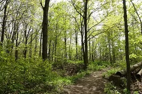
William Granger Greenway Nature Walk
Distance: 8.9 km
Difficulty: Moderate
Nearby: Al Palladini Community Centre
Map
Information & photos

Sonoma Heights Neighbourhood Walk
Distance: 2.6 km
Difficulty: Easy
Nearby: Sonoma Heights District Park
Map
Information & photos

Rainbow Creek Neighbourhood Walk
Distance: 2.2 km
Difficulty: Easy
Nearby: Father E. Bulfon Community Centre
Map
Information & photos

Riverwalk Neighbourhood Walk
Distance: 1.7 km
Difficulty: Easy
Nearby: Woodbridge Pool & Memorial Arena
Map
Information & photos

Jersey Creek Neighbourhood Walk
Distance: 2.6 km
Difficulty: Easy
Nearby: Chancellor Community Centre
Map
Information & photos

Vellore Neighbourhood Walk
Distance: 4.7 km
Difficulty: Easy
Nearby: Vellore Village Community Centre
Map
Information & photos
Vaughan East

Mackenzie Glen Neighbourhood Walk
Distance: 3.2 km
Difficulty: Easy
Nearby: Maple Community Centre
Map
Information & photos

Peter Rupert Neighbourhood Walk
Distance: 2.8 km
Difficulty: Easy
Nearby: Pheasant Hollow Park
Map
Information & photos

Marita Payne Neighbourhood Walk
Distance: 2.5 km
Difficulty: Easy
Nearby: Dufferin Clark Community Centre
Map
Information & photos

Maple Nature Reserve Nature Walk
Distance: 3.2 km
Difficulty: Easy to Moderate
Map
Information & photos

Sugarbush Nature Walk
Distance: 2.4 km
Difficulty: Easy
Nearby: North Thornhill Community Centre
Map
Information & photos

North Maple Regional Park Nature Walk
Distance: 5 km
Difficulty: Easy to Moderate
Nearby: Peak Point Park
Map
Information & photos
Project funded in part by