Functional Designs

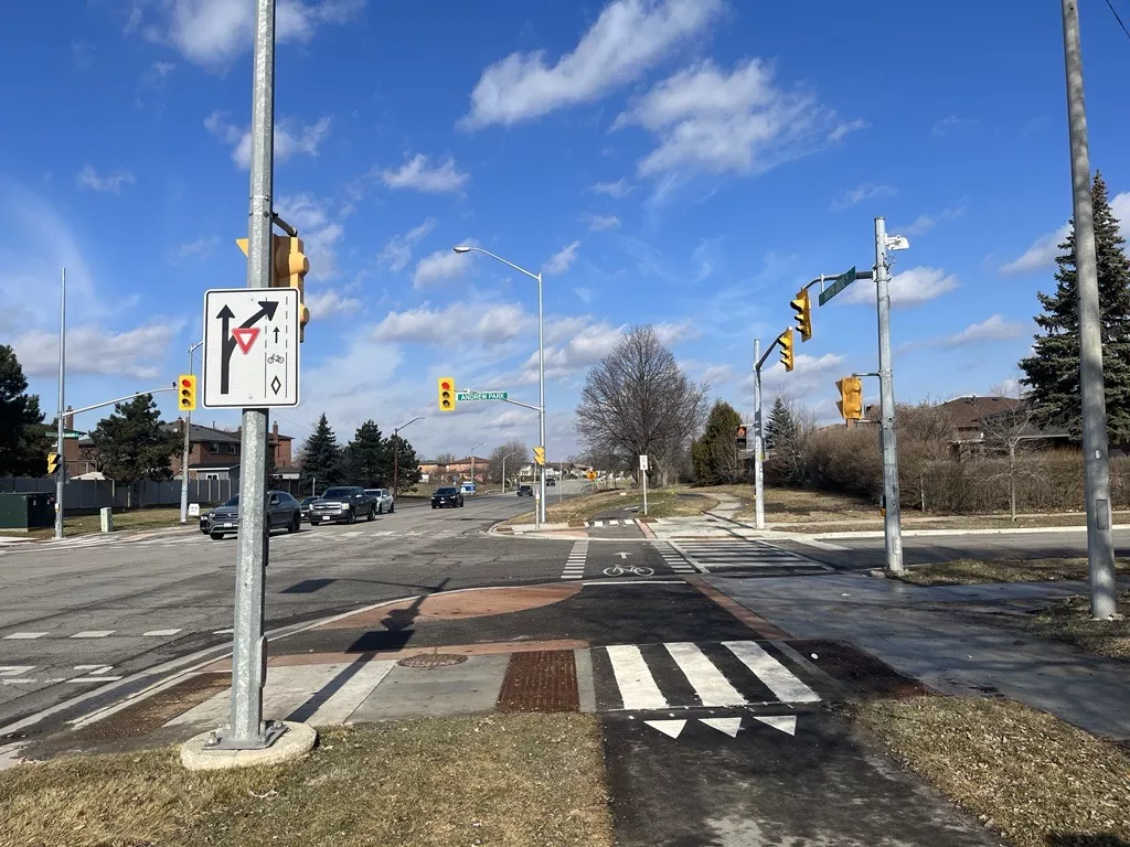
The City of Vaughan is committed to improving road safety and connectivity across the City for all modes of transportation whether you are walking, riding a bike, taking transit or driving. 

Functional design studies identify and assess alternative design solutions, enabling the City to make informed decisions in selecting preferred options for each segment and guide future detailed design efforts.

Image
Intersection at Martin Grove Road and Andrew Park

On-going Functional Design Studies

Answer

The City of Vaughan has initiated a Functional Design Study for cycling and walking facilities along the following corridors in the Concord Area:

• Confederation Parkway, from Rutherford Road to Dufferin Street (approx. 2.2 km);

• Staffern Drive, from Confederation Parkway to Langstaff Road (approx. 0.7 km); and

• North Rivermede Road, from Langstaff Road to Highway 7 (approx. 2.0 km).


In accordance with the recommendations outlined in the City’s Pedestrian and Bicycle Master Plan (PBMP), the proposed active transportation infrastructure is expected to include dedicated, unidirectional cycle tracks on both sides of the roadway. This route runs primarily through Employment Areas as defined in Schedule 1 of the 2010 Vaughan Official Plan. The facilities are intended to support first/last kilometre active transportation connectivity to local and regional transit services including York Region Transit, GO Transit and VivaNEXT Bus Rapid Transit.

Image
Map of functional designs for transportation enhancements
Answer

The City of Vaughan has initiated a Functional Design Study for cycling and walking facilities along the following corridors in the Vaughan Mills-Vaughan Metropolitan Connector Area:

• Edgeley Boulevard, from Interchange Way to Bass Pro Mills Drive (approx. 3.8 km); and

• Millway Avenue, from Highway 7 to Courtland Avenue (approx. 2.4 km).


In accordance with the recommendations outlined in the City’s Pedestrian and Bicycle Master Plan (PBMP), the proposed active transportation infrastructure is expected to include dedicated, unidirectional cycle tracks on both sides of the roadway. This route would connect the Vaughan Metropolitan Centre and Vaughan Mills Secondary Plan Areas and support first/last kilometre active transportation connectivity to local and regional transit services including York Region Transit, Toronto Transit Commission, Brampton Transit and VivaNEXT Bus Rapid Transit.

Image
Map for VMC- Vaughan Mills Connector

Completed Functional Design Studies

Answer

See the complied Ward4 functional design study here: Ward 4 Network


As part of the MoveSmart initiative, throughout 2022 and 2023 the City of Vaughan completed Corridor Reviews for Valley Vista Drive and Pleasant Ridge Avenue. A corridor refers to a linear road and its associated land uses. These reviews examined the current and future transportation planning and mobility infrastructure needs for the specific area under review. 

Additionally, the City worked on a City-wide Neighbourhood Traffic Calming Plan to determine which traffic calming tools are best suited for Vaughan. Carrville Corners was selected as one of five neighourhoods to pilot specific traffic calming measures. These measures were tested along Freedom Trail, Peter Rupert Avenue, District Avenue, among other streets.

These studies provided residents with the opportunity to provide input on transportation improvements for their neighbourhoods. 

Based on your feedback, the City is now finalizing the designs for transportation enhancements for the following streets in Ward 4:

Image
Map of functional designs for transportation enhancements