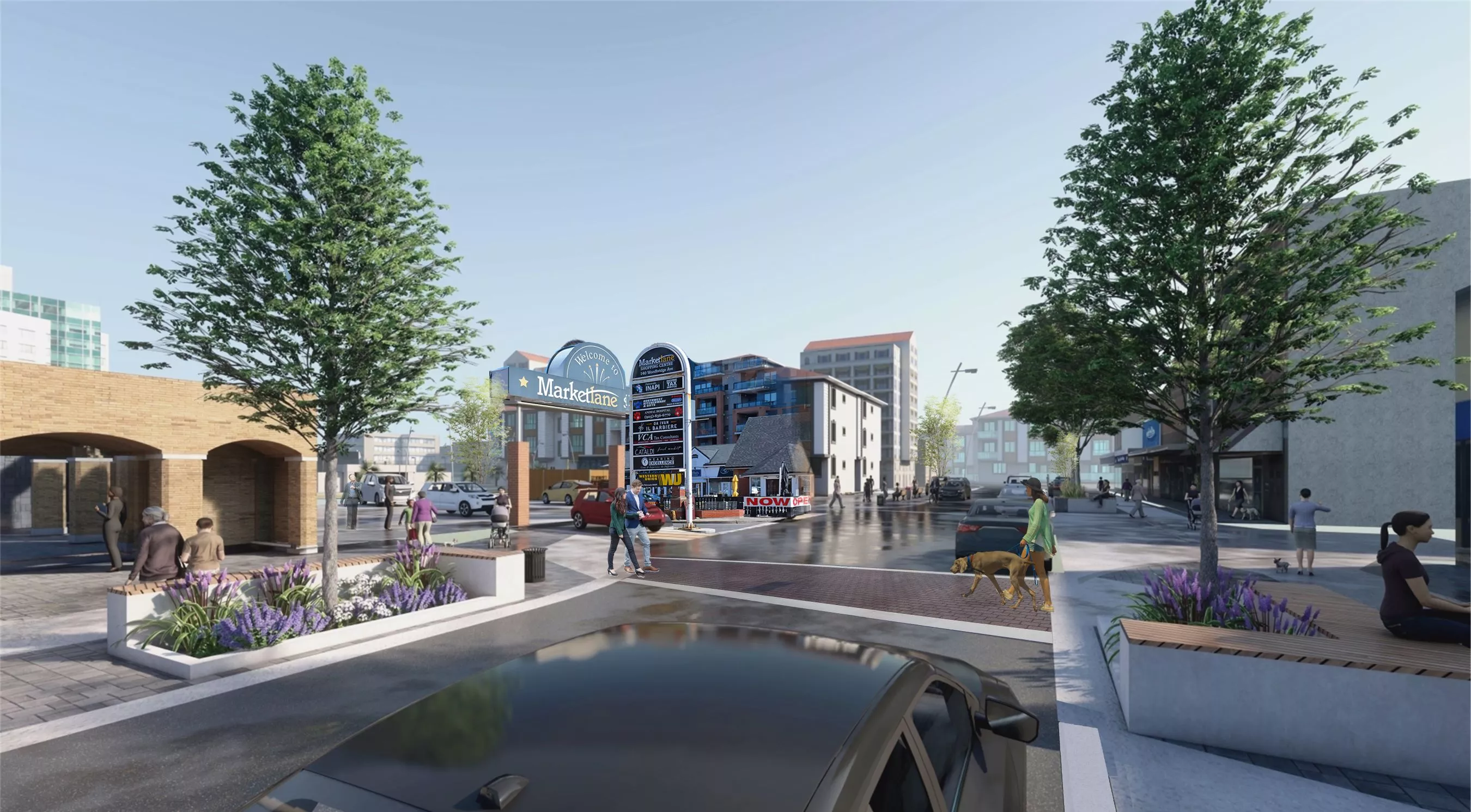
Development and Parks Planning
The Development and Parks Planning Department is responsible for the planning and general design of the City of Vaughan through the land use planning process.

Land use planning enables the City to establish goals and objectives for growth and development. This is accomplished by having regard for important social issues, together with environmental, and economic considerations which provide for sustainable and healthy communities. Through this process, the interests and objectives of individual property owners are balanced with the greater interests and objectives of the City.
DEVELOPMENT PLANNING
Development Planning staff provides professional planning advice and information with respect to current land use issues and undertakes the review and processing of a variety of Development Applications submitted to the City including:
- Official Plan Amendments
- Zoning By-law Amendments
- Draft Plan of Subdivision
- Draft Plan of Condominium
- Part-Lot Control Exemption
- Site Plans
Staff are available to provide assistance to the public and the development industry on planning-related issues, processing of development applications and the planning legislative process. The Development and Parks Planning Department actively encourages citizen participation. Public comment is solicited on some Development Applications. Citizen participation is encouraged as a vital part of the planning process in the City of Vaughan and is essential to good planning. To view upcoming public meetings, please click the link below:
If you wish to contact your local ratepayer, group, or community association, please click the link below:
List of Ratepayers Associations
PARKS PLANNING
Regarding the City's parks, the Parks Planning division is responsible for statutory and non-statutory land use planning, strategic planning, specific policies, by-laws and the conveyance or payment-in-lieu of parks through the land use process.
The Development and Parks Planning Department focuses on the following four areas of land use planning:
-
Answer
The Development and Parks Planning Department reviews and processes Development Applications submitted to the City of Vaughan by landowners seeking permission for a land use change and/or development proposal. This involves analysis and evaluation of the requested land use change and/or development proposal, leading to the preparation of reports for Public Meeting and Committee of the Whole Meetings which includes recommendations for consideration and action by City Council. Please refer to the Development Application Submission Process for more information on Development Applications and Pre-Application Consultation (PAC) requests.
-
Answer
The Planning GIS & Analytics Section of the Development and Parks Planning Department is responsible for coordinating, administering and overseeing the development, implementation, maintenance and operation of the Department's Geographic Information System (GIS); PLANit; and Computer Aided Drafting (CAD) including the distribution of spatial databases such as Official Plan, Zoning and parcel fabric; municipal addressing; and document management.
-
Answer
Building a great city means bringing together people and coordinating the various components that create the everyday urban fabric. These components consist of the buildings in which we live and work, public spaces in which we gather, move and enjoy, infrastructure, and the environment. Our cultural heritage and cultural landscapes are a legacy that make our city a richer place to live and visit.
Urban Design and Cultural Heritage staff collaborate to build Vaughan as a great city for this generation and future generations, including a remarkable public realm, contributing built form, and sustainable development and infrastructure.
-
Answer
The Development and Parks Planning Department also reviews Minor Variances and Consent Applications circulated by the Office of the City Clerk, and provides comments, including recommendations, for consideration and action by the Committee of Adjustment.
For more information on the City of Vaughan's planning process, please click below:
Contact Information
Additional Resources
- Planning Act
- Ministry of Municipal Affairs & Housing
- Ministry of Environment, Conservation and Parks
- Region of York Official Plan
- TRCA/Planning Services
- Policy Planning and Special Projects (PPSP)
- Vaughan Official Plan 2010
- KPMG Report - Comprehensive Review of Development Review and Policy Formulation Processes
