Image
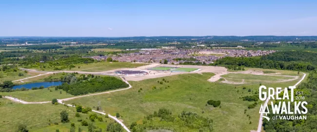
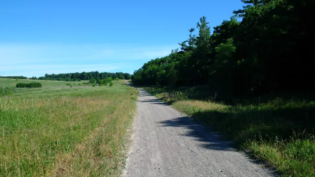
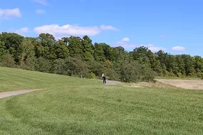
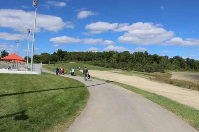
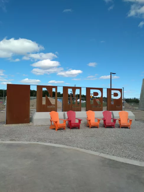
North Maple Regional Park Nature Walk
North Maple Regional Park Nature Walk Map
Distance: 5 km
Difficulty: Easy to Moderate
Nearby: Peak Point Park
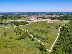
- Situated in the 200 acres North Maple Regional Park (Phase 1 of a larger 900 acres site)
- Parking can be accessed at entrance on east side of Keele Street between Teston Road and Kirby Road
- Surrounded by the natural setting of the Oak Ridges Moraine and Don River
- Trail is accessible and has a granular surface with some slopes greater than 5% inclination
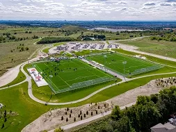
- Amenities at the site include parking, washrooms, changerooms and concessions building
CONSTRUCTION NOTICE: There will be some trail access restrictions in effect until spring 2024 while construction is underway. Different areas of the park may be closed to the public with on-site signage and fencing. We please ask that all park visitors exercise caution and respect the construction signage, fencing and barriers, and avoid entering areas under construction. Check back regularly for project updates and more information.
Image
Image
Image
Image
Image
Image