Policy Information
This section provides access to policy mapping information, such as zoning, active development applications, and ward boundaries.
Image
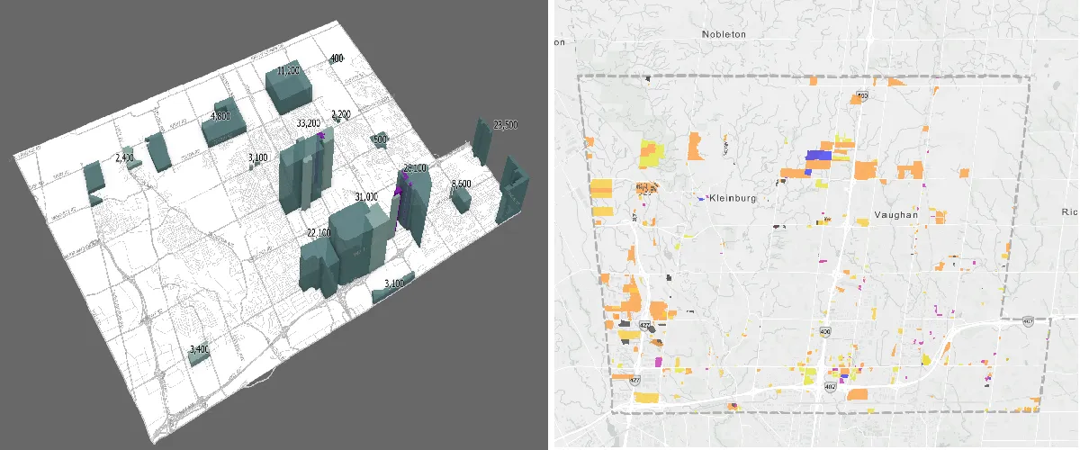
The interactive maps help residents, developers, and stakeholders explore planning regulations and stay informed about ongoing planning activities within the city
The available resources include:
- Zoning: Zoning map consists of By-Law 1-88 and By-Law 001-2021
- Wards: Ward Map showing location of City’s five wards
- Development Applications: Map showing active and closed development applications
- Ratepayers: Map showing ratepayers associations boundaries and their information
- Municipal Addressing: General map showing municipal addresses