Real-time construction updates, one click at a time
Curious about what’s being built around you? The City of Vaughan has rolled out a new interactive map that lets you dive into real time updates on construction projects happening across the city.
With four easy-to-use navigation tabs, you can explore projects by street address, type, year or ward - making it simpler than ever to stay informed about infrastructure improvements near you.
On the address page, users can type in a specific address, intersection or street name to locate and view projects within a particular area.
Within the type navigation tab, the map is organized by six construction types, which include:
- active transportation
- park
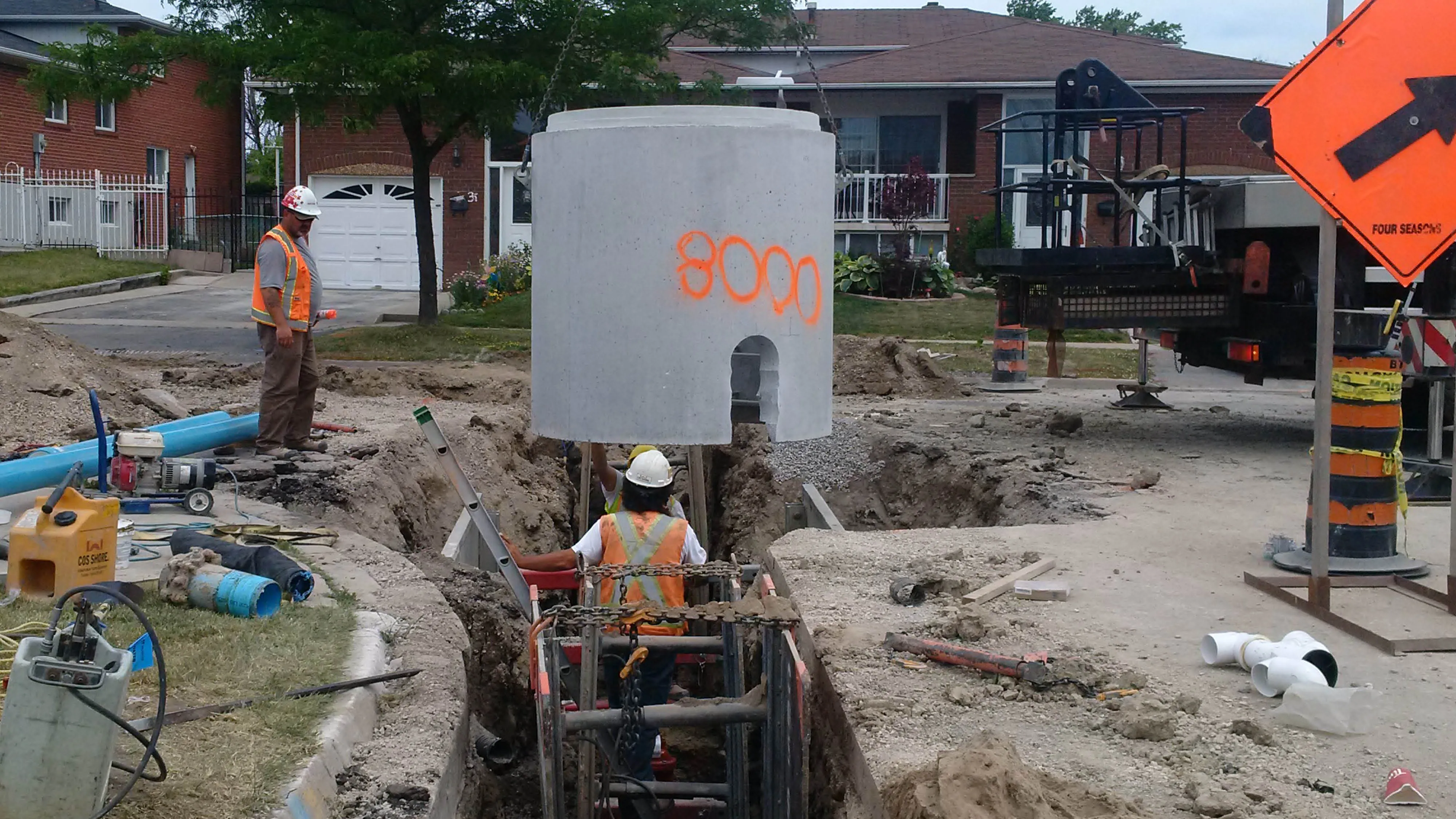
- road
- stormwater
- wastewater
- water
You can select a specific category to navigate through, which will then display the total number of project locations along with an interactive map displaying active construction areas across the city. When clicking on a specific project, you will find information about the project, including whether work is underway or planned, timelines and a project webpage (if available).
A year tab is also available on the map, which highlights projects currently underway for 2025 and planned for 2026.
The ward tab allows you to navigate projects by ward and access contact information for each local Councillor. A direct link to the Councillor’s official website is also provided for further information and resources.
The map is fully optimized for mobile use, featuring a responsive layout that adapts seamlessly from desktop to smartphones. This ensures up-to-date construction information can be readily available, anywhere, anytime.
Get started at vaughan.ca/ConstructionUpdate!
For updates and news as they happen, subscribe to Vaughan News and follow the official corporate channels on X, Facebook, Instagram and LinkedIn.


