Explore the enhanced PLANit mapping tool!
Everything you need to know about current development applications in Vaughan
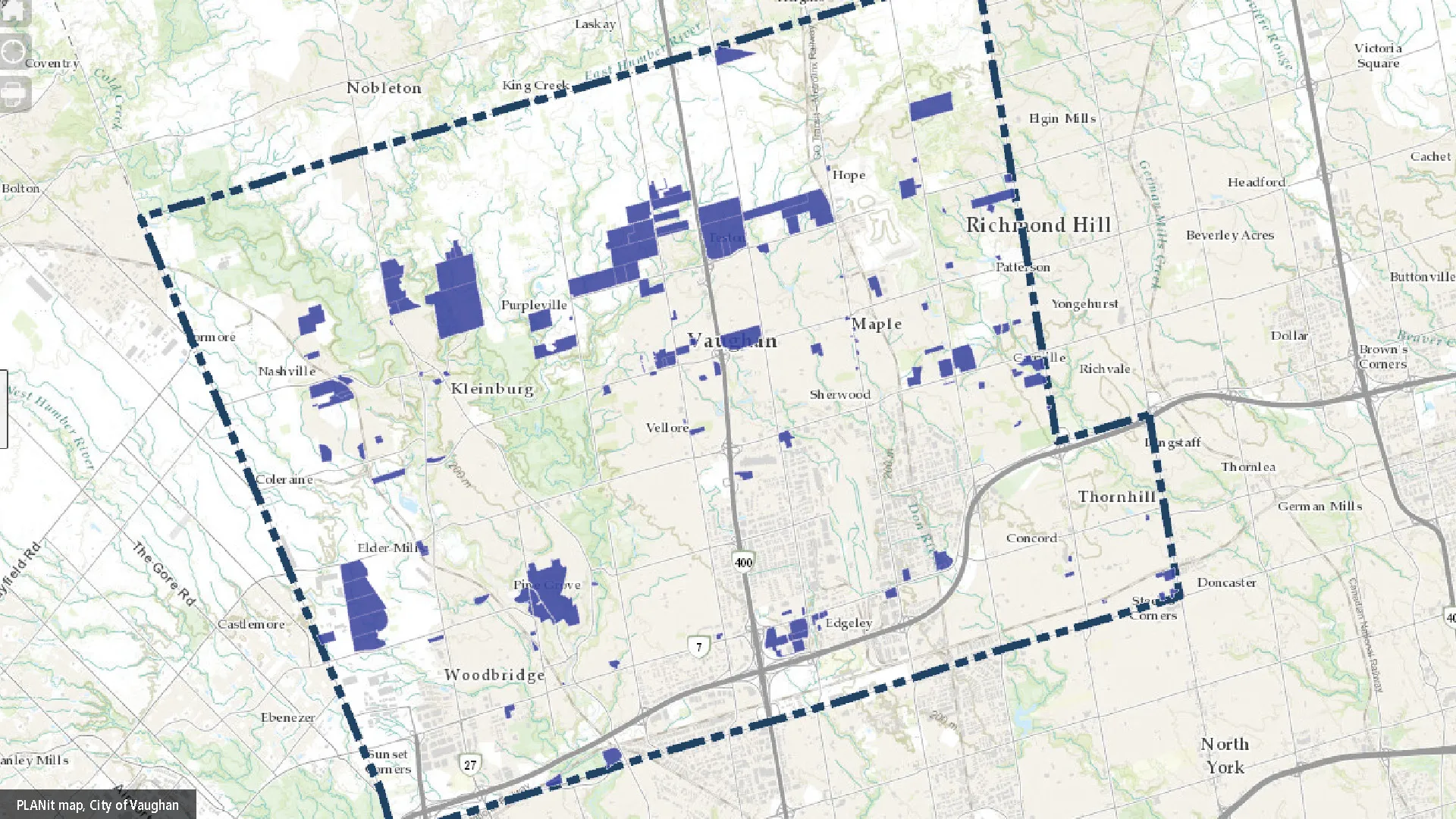
Looking for information on development applications in Vaughan? Explore the enhanced PLANit, the City of Vaughan’s interactive online mapping tool that puts planning information at your fingertips.
There you can view and track active development applications in the community with detailed information on development policy details, zoning, land use and planning proposals. Everything you need to stay informed about potential growth in our community.
The enhanced platform uses the latest web mapping technology to deliver faster, more reliable results. And a refreshed design puts all the important information in one place, making it easier to see what's being built or planned in Vaughan. New filters also allow you to refine results by application type, while still viewing all other map data – giving you a clearer picture of Vaughan’s planning landscape.
PLANit is fully web-based, ensuring information is accessible anytime, anywhere. Whether you’re a resident, developer or business owner, the tool makes it simple to stay informed about Vaughan’s future.
For more information, visit the online maps webpage.
For updates and news as they happen, subscribe to Vaughan News and follow the official corporate channels on X, Facebook, Instagram and LinkedIn.


