Building the Humber Trail
Image
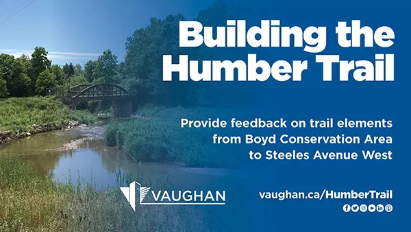
Provide feedback on trail elements from Boyd Conservation Area to Steeles Avenue West
Vaughan’s trail network continues to grow! The City of Vaughan has partnered with the Toronto and Region Conservation Authority (TRCA) to complete the Humber Trail Feasibility Study – and is looking for input from citizens. The study will explore ways to expand the current Humber Trail and connect the area between Boyd Conservation Park and Steeles Avenue West. In doing so, the Humber Trail adds to a growing list of multi-use recreational trails the City is expanding or enhancing for the community to safely enjoy and be active outdoors.
Vaughan’s trail network continues to grow! The City of Vaughan has partnered with the Toronto and Region Conservation Authority (TRCA) to complete the Humber Trail Feasibility Study – and is looking for input from citizens. The study will explore ways to expand the current Humber Trail and connect the area between Boyd Conservation Park and Steeles Avenue West. In doing so, the Humber Trail adds to a growing list of multi-use recreational trails the City is expanding or enhancing for the community to safely enjoy and be active outdoors.
As recommended in the 2020 Pedestrian and Bicycle Master Plan and the 2018 Active Together Master Plan, the emerging focus for the City is to close gaps along key city-wide trails, including the Humber Trail. In response, the City and the TRCA started a study to identify potential new routes along the Humber Trail to close the seven-kilometre gap between Boyd Conservation Park and Steeles Avenue West. This connection will extend northward through the William Granger Greenway to the Nashville Conservation Reserve and southward through the City of Toronto to the Lake Ontario waterfront. As part of the study, a high-level assessment of cultural and natural features in the Humber Valley corridor was conducted – environmental sensitivity and optimizing active transportation were also taken into consideration.
Public feedback is a vital part of this study and crucial to the development of the trail. The Vaughan community is encouraged to join the conversation by participating in an online self-guided session to:
- learn about the proposed trail alignments and route options.
- provide feedback on the proposed routes, potential challenges and concerns, and locations of interest.
- provide input on which priority projects identified should be constructed first.
- share ideas about how to encourage more citizens to use the City’s recreational trails.
Feedback will be collected using a variety of methods, including an interactive mapping exercise, an online survey and sharing ideas directly with staff. Visit vaughan.ca/HumberTrail to get started – the workshop will take approximately 15 minutes to complete and it will be available online until Monday, June 21.
Input gathered will inform the City’s draft feasibility plan and report – to be completed by the end of this summer.
Visit vaughan.ca/HumberTrail to view downloadable maps. Get involved and learn more about the study.
-30-