Active Transportation Network
The City of Vaughan's active transportation network is expansive - it includes sidewalks, cycle tracks, in-boulevard multi-use pathways and recreational trails - and it continues to grow. In fact, more than 125 kilometers of active transportation infrastructure at different stage of study, design and implementation progressed through municipal, regional and partner projects.
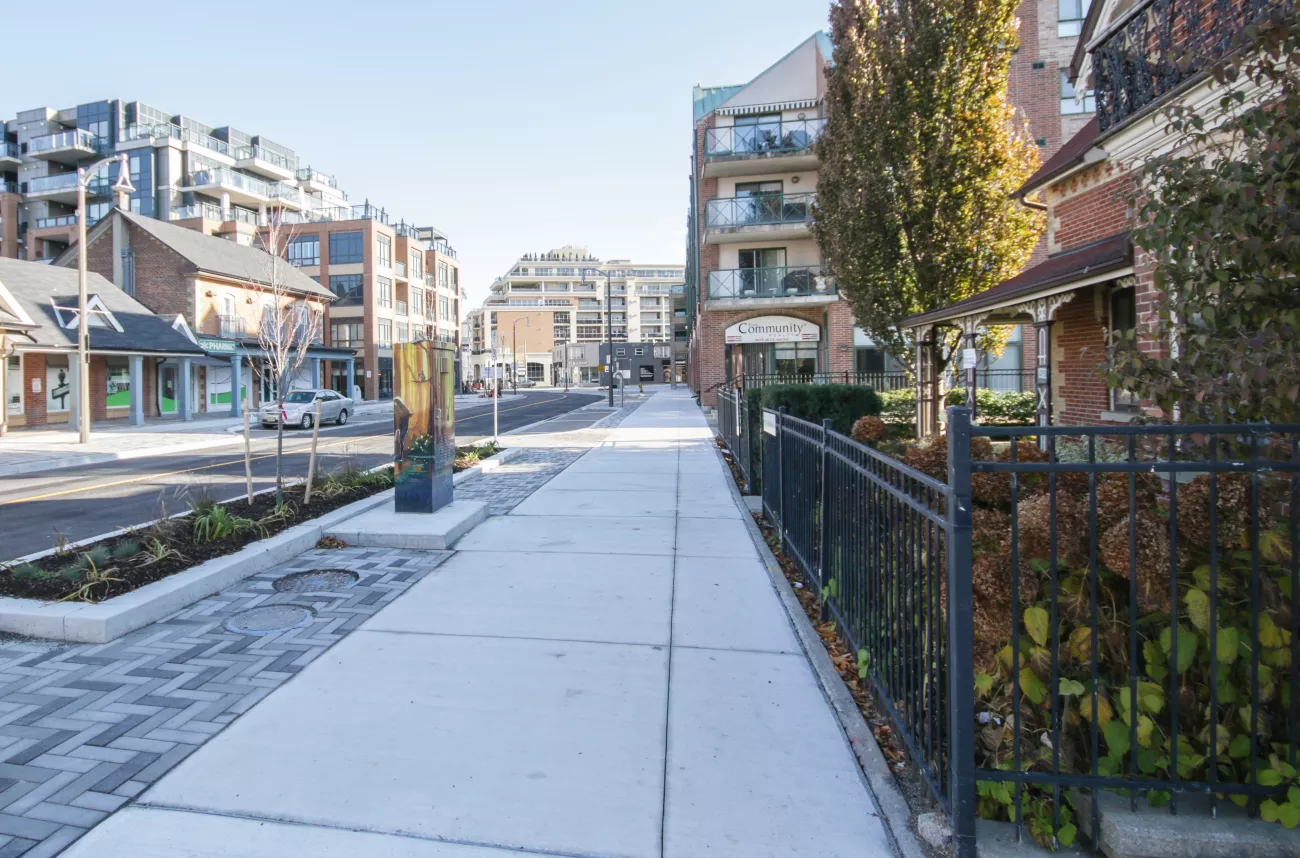
Sidewalks
Sidewalks are designated concrete pathways for people walking or using mobility devices. Sidewalks are typically located on both sides of the roadway and users can travel in both directions. Sidewalks are separated from cycle tracks, bike lanes and roadway. The use of bikes, e-bikes and e-scooters are not permitted on sidewalks.
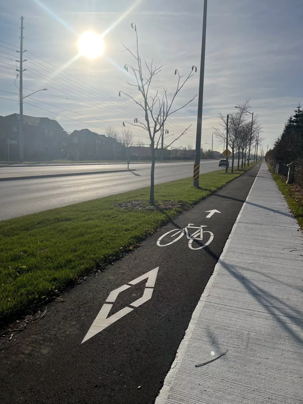
Cycle Tracks
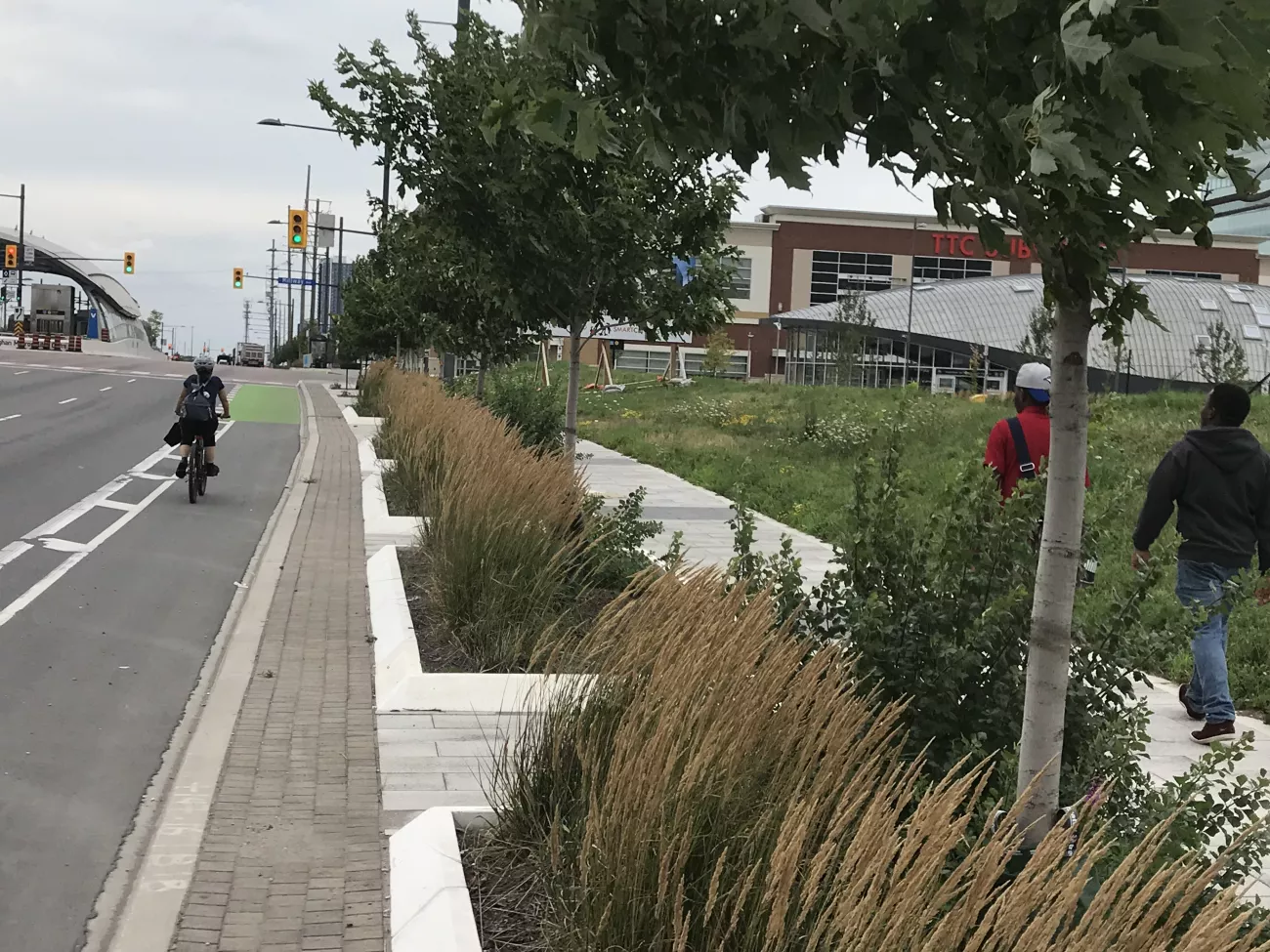
Cycle Tracks are designated asphalt pathways exclusively for people riding bikes, e-bikes or e-scooters. Cycle tracks are located on both sides of the roadway and users must travel in the same direction as people driving. These tracks are separated from the roadway by a curb and buffer and typically run parallel to a sidewalk.
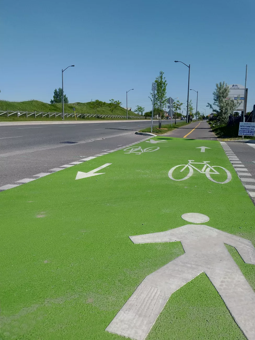
In-boulevard Multi-use Pathways
In-boulevard multi-use pathways are designated asphalt pathways shared by people walking, using mobility devices and riding bikes, e-bikes or e-scooters. Multi-use pathways are in the boulevard on one or both sides of the road and users can travel in both directions but must stay to the right. These pathways are separated from the roadway by a curb and buffer and are generally implemented in place of a separate sidewalk and cycle track.
On-road Bike Lanes
Bike lanes are a portion of a roadway designated by pavement markings and signage for use by people riding bikes, e-bikes or e-scooters. Bike lanes are located on both sides of the roadway and users must travel in the same direction as people driving. These lanes are separated from motor vehicle lanes by a white painted line.
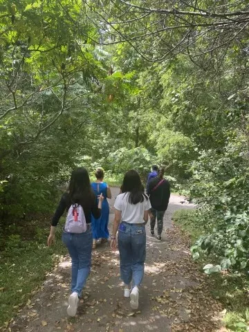
Recreational Trails
Recreational trails are designated pathways for people walking, using mobility devices or riding bikes. The use of e-bikes and e-scooters are not permitted on recreational trails. Recreational trails are located within parks and open spaces.